Safe Oakland Streets
Safe Oakland Streets (SOS) is a Citywide initiative to prevent serious and fatal traffic crashes and eliminate crash inequities on Oakland's streets. We are working across departments and building partnerships with the community to implement the most effective and equitable strategies.
Safe Oakland Streets Annual Reports
- 2024 Informational Report on the Safe Oakland Streets Initiative(PDF, 813KB)
- APPENDIX- 2024 Safe Oakland Streets Informational ReportStreets(PDF, 5MB)
- 2023 Informational Report on the Safe Oakland Streets (SOS) Initiative(PDF, 431KB)
- APPENDIX- 2023 Safe Oakland Streets (SOS) Informational Report(PDF, 2MB)
- 2022 Informational Report on the Safe Oakland Streets (SOS) Initiative(PDF, 1MB)
- APPENDIX- 2022 Safe Oakland Streets (SOS) Informational Report(PDF, 1MB)
- 2021 Safe Oakland Streets (SOS) Informational Report(PDF, 508KB)
- APPENDIX- 2021 Safe Oakland Streets (SOS) Informational Report(PDF, 24MB)
- 2020 Informational Report On The Safe Oakland Streets (SOS) Initiative(PDF, 1MB)
- APPENDIX- 2020 Safe Oakland Streets (SOS) Informational Report(PDF, 623KB)
Documents
Check out our latest resources here.
See the Oakland Local Roadway Safety Plan(PDF, 30MB).
Check out OaKDOT Director's statement for prioritizing vulnerable user's in our Complete Streets policy: Oakland Complete Streets Director's Commitment(PDF, 190KB)
Who Crashes Impact
Every week, two Oaklanders are killed or severely injured on our streets. These crashes don't impact our communities equally. Our data analysis shows that there are clear racial, geographic and age disparities in crashes. (See the "Citywide Crash Analysis" in the document section for more information and references.)
- Black Oaklanders are 2 times as likely to be killed or severely injured in a traffic crash of any type and 3 times more likely to be killed or severely injured while walking as compared to all other Oaklanders. Historic policies such as red-lining, as well as racial disparities in knowledge of government processes and how to access resources are likely to have led to these outcomes. In addition, some recent studies have found that drivers are less likely to yield to Black pedestrians than White pedestrians (Racial bias in driver yielding behavior at crosswalks, Goddard et al 2015, Transportation Research).
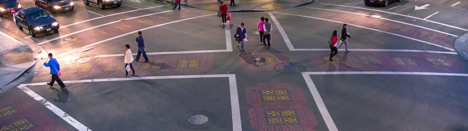
- Asian Oaklanders: 30% of streets in majority Asian census tracts fall on the City of Oakland Pedestrian High Injury Network - the highest percentage of any ethnicity. This disparity reflects the high concentration of "high injury corridors," or streets where severe and fatal crashes concentrate, in Chinatown, where every street is a high injury corridor.
- Older Oaklanders (65+) are more than 2 times as likely to be killed in a crash compared to all other Oaklanders; the majority of senior traffic deaths occur while walking. Seniors are especially vulnerable in crashes because our bodies are more fragile as we age, and less able to rebound or heal from a major injury.
- Younger Oaklanders (age 1-17) don't face higher rates of traffic deaths as compared to adults, however, traffic crashes are the second most common cause of death for this age group in Oakland. Homicides are the leading cause of death.
- Oaklanders with Disabilities have a significantly higher mortality rate when involved in crashes.
Where Crashes Take Place
Just a few streets account for the large majority of traffic deaths and serious injuries. Together, these "high injury corridors" make up the City's high injury network, where severe and fatal traffic crashes concentrate. (See the "High Injury Network" in the document section for more information and references.)
- Just 6% of Oakland's streets account for over 60% of severe and fatal crashes across all modes
- Nearly all high injury streets are in medium- or high-ranking "Communities of Concern" a term used regionally to describe communities experiencing high rates of poverty, people of color, people with disabilities, zero car households, and English as a second language.
Why Crashes Happen
Traffic crashes are preventable. In order to prevent crashes, we must first understand why they're happening. While traffic crashes can result from a variety of causes, some are more common than others.
- Speeding is at the root of 25% of deadly crashes in Oakland
- Oaklanders are killed or severely injured by left-turning vehicles at over 4 times the rate of right-turning vehicles
- 75% of severe or fatal injuries occur at Oakland intersections
- Drivers failing to yield to a pedestrian at a crosswalk account for over 33% of pedestrian deaths and severe injuries
What We're Doing About It
Safe Oakland Streets' goals are to:
- Prevent severe and fatal crashes and related disparities impacting Black, Indigenous, and People of Color (BIPOC) communities, seniors, people with disabilities, and low-income populations;
- Eliminate severe and fatal injury inequities including racial disparities impacting BIPOC communities that exist today in Oakland; and
- Inform effective and equitable safety strategies that prevent injury and injury inequities, and do not have adverse equity impacts on BIPOC communities, seniors, people with disabilities and low-income populations
SOS assessed the most effective and equitable strategies to achieve our goals.
Safe street design plays a critical role in encouraging safe traffic behaviors and preventing severe and fatal crashes in the first place.
- For a sense of the types of tools we use to increase safety, take a look at the "Crash Prevention Street Design Toolkit" in the documents section above.
- To see a list of safety projects under construction this year in Oakland, see "2021 Traffic Safety Projects" in the documents section above
We're prioritizing safety investments on the High Injury Network and in communities of concern across virtually all of our street redesign efforts at OakDOT, including:
- Capital Improvement Plan (CIP): The City's CIP outlines our major capital investments. From a transportation perspective, these are our most transformative projects that can help turn a high injury corridor into a thriving, vibrant place. In the most recent CIP, OakDOT ensured that all transportation improvements were ranked based on a number of factors that the community identified as important. Two of the highest ranking factors included equity (whether a project serves a community of concern) and safety (whether or not a project addresses a high injury corridor). OakDOT is working on dozens of projects across the High Injury Network. Some of these major projects are listed here: OakDOT Major Projects Map
- Implementation of the Pedestrian and Bicycle Plans: The Bicycle and Pedestrian Program works to implement the City's Pedestrian and Bicycle Plans, using data driven decisions and quality street design to enhance safety.
- Prioritizing the High Injury Network in the Paving Plan: the Paving Plan touches the largest number of miles across the City of Oakland. The paving plan prioritizes strategies to reduce racial inequities and streets on the high injury network, creating a cost-effective strategy to implement striping improvements that can effectively reduce crashes.
- School Traffic Safety: Traffic safety near schools is critical for our families, children, and our communities. On School Traffic Safety in Oakland find the latest news and important background on our work to make it safer to go to and from Oakland's schools.
- Safe Routes to Schools: the City of Oakland partners with the Alameda County Transportation Commission (ACTC) to deliver safety improvements around schools. ACTC plans safety improvements around schools, and OakDOT designs and delivers those improvements. In addition, OakDOT implements a school crosswalk striping program.
- Neighborhood traffic safety requests: OakDOT receives approximately 800 traffic safety requests from community members through OAK311 each year - a number that far outweighs staff capacity to investigate safety concerns and design & deliver solutions. We prioritize these requests based on crash history, equity, and proximity to schools or senior centers.
- Rapid Response Projects: while OakDOT works to proactively prevent crashes, we still face two severe or fatal crashes on average every week. When severe or fatal crashes take place that could have been prevented, OakDOT deploys crash prevention tools immediately. Examples of rapid response projects include Foothill & 22nd Ave, Foothill & 26th Ave, and Harrison & 23rd St.
What You Can Do